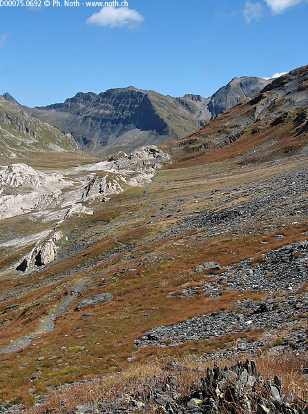
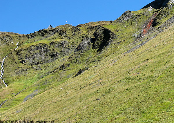
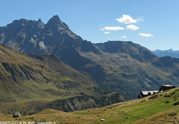
Hikes for loners

and independent types

Map

In short:

  • Starting point: ideally, Pian Greinett by using the special bus from Olivone. Caution: the bus has to be booked in advance, and it stops opeating at the beginning of September.
  • Total duration: 7-8 hours (even 9-10 without the bus)
  • Difficulty: T2 - Mountain Hikes (easy but very long!)
  • KMZ file for Google Earth
  • Profile (roundtrip): Profile
  • Aloneness index:
    Aloneness index: 0

Maps:

Links (click on flag):

Passo della Greina, Capanna Michela-Motterascio, Capanna Scaletta

No detailed report for this hike yet

Passo della Greina

1 - Passo della Greina

Marmot

2 - Marmot

Looking towards the Rheinwaldhorn and its glacier

3 - Looking towards the Rheinwaldhorn and its glacier

Torrone di Nav (2832m, 9291ft)

4 - Torrone di Nav (2832m, 9291ft)

Passo della Greina

5 - Passo della Greina

Capanna Scaletta

6 - Capanna Scaletta

Capanna Motterascio

7 - Capanna Motterascio

Previous Next