Hikes for loners

and independent types

Map

In short:

Maps:

Links (click on flag):

Col de Malatrà, Col des Ceingles, Col de Saint Rhémy

Livre 'Randonnées pour Grizzlys - Alpes valaisannes'

This hike has been selected to be featured in the book Randonnées pour Grizzlys - Alpes valaisannes, published in May 2013 by the editor Slatkine - unfortunately only in French language. It is described and illustrated there in great detail.

The book can be ordered at Slatkine or at other online stores (Ex libris, Rossolis, ...). Of course you will also find it in any good bookstore of French-speaking Switzerland.


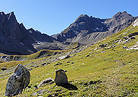
Col de Malatra (2934m, 9626ft)

1 - Col de Malatra (2934m, 9626ft)

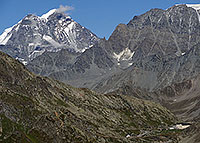
Mont Blanc, at Col de Malatrà

2 - Mont Blanc, at Col de Malatrà

Col de Malatrà

3 - Col de Malatrà

Col des Ceingles in the distance

4 - Col des Ceingles in the distance

Comba des Thoules. Col des Ceingles, Petit Golliat, Grand Golliat

5 - Comba des Thoules. Col des Ceingles, Petit Golliat, Grand Golliat

Col d'Arc. View at the Great St-Bernard hospice and the pass road

6 - Col d'Arc. View at the Great St-Bernard hospice and the pass road

Previous Next