In short:
- Starting point: Steingletscher, Sustenpass
- Total duration: 4 hours from the road's end, add about 1 hour if starting at Steingletscher
- Difficulty: T3 - Challenging Mountain Hikes (even though the trail is marked with blue-white, I consider a rating of T4 - Alpine Hikes would not be justified)
- KMZ file for Google Earth
- Profile (up & down):

- Aloneness index:

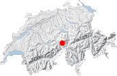
Maps:
Links (click on flag):
 Hike report on Hikr.org.