In short:
- Starting point: Tignousa (funicular railway from Saint-Luc)
- Total duration: 6½ hours
- Difficulty: T2 - Mountain Hikes
- KMZ file for Google Earth
- Profile (up & down):

- Aloneness index:

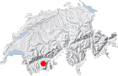
Maps:
Links (click on flag):
 Hike report on Hikr.org.
Le Touno (Tounot)
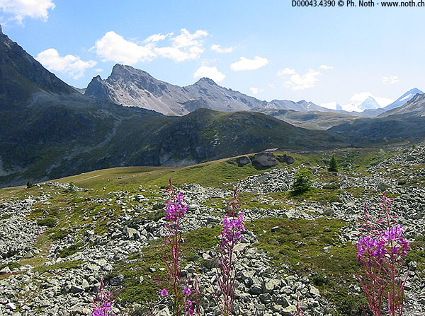
Peaking at just over 3000 meters, this mountain is accessible owing to the very good routes whose starting points are found at the Saint-Luc Observatory. It gives you a distant view of the Zinal imperial crown as well as the end of Turtmantal and the Weisshorn peak.
Many interesting hikes can also be made from Chandolin and Saint-Luc: Bella Tola, Illhorn, and Meidpass, just to mention three. But Saint-Luc is a big resort and that's usually bad news for a hiker who loves unspoiled scenery. The advantage of Le Touno (3017m, 9898ft) is that it's far enough from Saint-Luc's skiing areas.
It's also a geologically complex summit. My reason for stating this is that I spent the entire hike wondering exactly where the aim of the day was. The mountain's west and (especially) north sides were so steep that that I could not imagine myself being up there! But I was wrong: Le Touno's south side, after getting past a few rock barriers, is easily conquered.
The hike that I propose starts at the bottom of Saint-Luc's Tignousa funicular; it takes 3 hours to reach the top. To return to the village, I chose the route via Les Cascades, which also takes 3 hours.
Buy a one-way ticket to Tignousa. But, before going up, it's well worth your while to find out what's going on at the visitor-friendly François-Xavier Bagnoud Observatory. Not everything takes place at night. For example, just before starting out, we were able to observe the sun in one of the instruments (from 11.15 to 12.00; previous request required). Walk along the wide route named "Les Planètes" to Hôtel Weisshorn, a building of historical value. The route itself is of interest: in a down-scaled version, you cross the solar system!
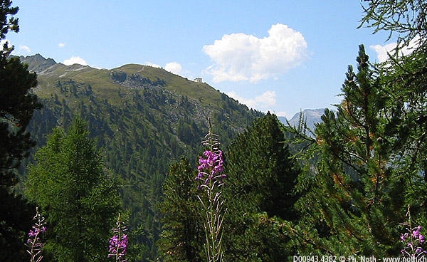
One hour later, a route bears left into the small valley Tsa du Touno. Break away from the forces of planetary gravity (not an easy thing to do when you're near Uranus and Neptune.) and climb up to the chalet of Les Faches and Vijivi. At the fork, take the left road that leads to Lake Le Touno (we'll go to Forcletta another day).
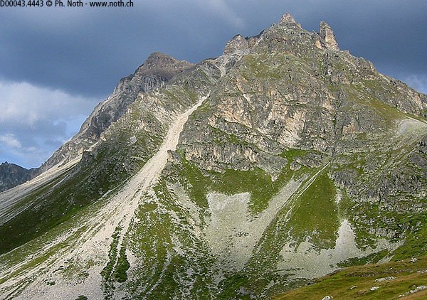
It takes one more hour to get from the lake to the summit. This is the most difficult stretch: 500 meters upward! When you start off, the path is steep and gullied and gives the impression that it doesn't know where it's heading - remember, however, that it's making its way around rock barriers. Soon enough, though, you'll be back on easier and grassy slopes.
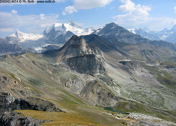
At the top, you'll be taken aback by the presence of... a bench! You'll also be taken aback by the north side. What a fall! The view of the glaciers and snow-covered peaks between Tourtemagne and Zinal is unique, a view that was still imperceptible at the level of Lake Le Touno, 500 meters below.
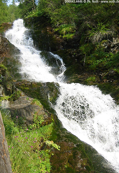
The way down that I propose takes you back to Les Faches and Le Chiesso (Planet Uranus, 90 min. from the top of Le Touno). From that point, instead of returning to Tignousa, it takes you to the village of Saint-Luc along the forest trail named Les Cascades. The walk along the Les Moulins torrent is very picturesque but - watch your step! - also very slippery and treacherous.
The walk through the forest ends at Le Prilet. Stay on the road until you arrive at the centre of Saint-Luc or, if you came by car, the Tignousa funicular car park.

