In short:
- Profile (roundtrip):

- Aloneness index:

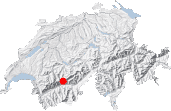
Maps:
Links (click on flag):

 Niwen hike reports on Hikr.org.
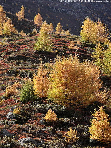
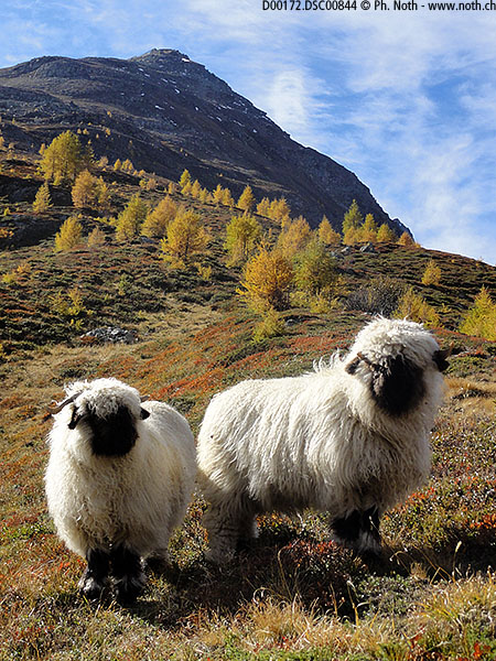
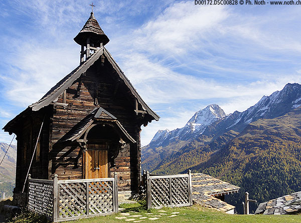
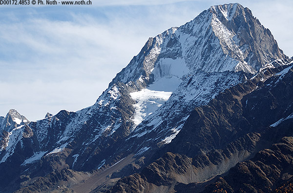
Niwen (Einigs Alichji), Faldumalp
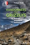
This hike has been selected to be featured in the book Randonnées pour Grizzlys - Alpes valaisannes, published in May 2013 by the editor Slatkine - unfortunately only in French language. It is described and illustrated there in great detail.
The book can be ordered at Slatkine or at other online stores (Ex libris, Rossolis, ...). Of course you will also find it in any good bookstore of French-speaking Switzerland.


This hike is featured in the book
Randonnées pour Grizzlys
Alpes valaisannes
published in 2013 by the editor Slatkine.
The book can be ordered online at the Slatkine website or bought in any good bookstore of French-speaking Switzerland