Hikes for loners

and independent types

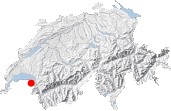
Map

In short:

Maps:

  • Extracts:
    1:50'000 1:200'000
  • Swisstopo shop:
    None is recommended! This hike goes across France and Switzerland, and on top of that, across several national maps boundaries. Try to find a French IGN map

Links (click on flag):

  • French Report and pictures on Transpiree.ch

Lac de Lovenex, Crêtes de Charousse

Ascending Col de la Croix, left of Grande Miette

1 - Ascending Col de la Croix, left of Grande Miette

The Lac de Lovenex, overhanging the Lac Léman

2 - The Lac de Lovenex, overhanging the Lac Léman

The Dent du Vélan (2059m, 6755ft)

3 - The Dent du Vélan (2059m, 6755ft)

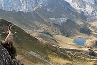
Ibex at the Crête de Charousse

4 - Ibex at the Crête de Charousse

Ibex at the Crête de Charousse

5 - Ibex at the Crête de Charousse

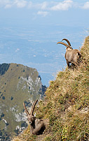
Ibexes at the Crête de Charousse

6 - Ibexes at the Crête de Charousse

Previous Next